
On Friday afternoon I drove two hours to a trailhead. Hit the trail at about 4 in the afternoon. Only had a quarter mile to go to get to the Mt. Algo Shelter to crash for the night.

Here's where the trail meets and crosses the road


The trail is marked with "blazes." A blaze is a white stripe of paint 2" wide and 6" tall.
 A double blaze tells you the trail is changing direction. The top blaze tells you which way the trail is turning.
 Blue blazes indicate a side trial, usually leading to a camping area or a shelter. So this tree tells you that the trail continues straight ahead and there is also a side trail leading off to the right to a shelter.
 Below is a blue blazed trail.
 See the grey squirrel?

Stopped at Thayer's Brook to take a few pics. Wore orange since it is deer season.


 Lunch break by a creek headed south on Day 2.
 Crossed over into New York for about a mile and a half. Now I can say that the only time I ever went to New York I walked there. Ha Ha
 At one point the trail dropped out onto this pavement. It follewed the road about 3/4 of a mile to a stop sign then headed into the woods again.


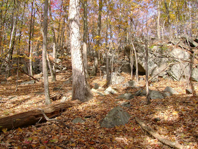
 I saw lots of old rock walls which I think were fences aorund peoples properties...maybe 200 years ago or more. Really cool.


Rental truck I drove to trail.

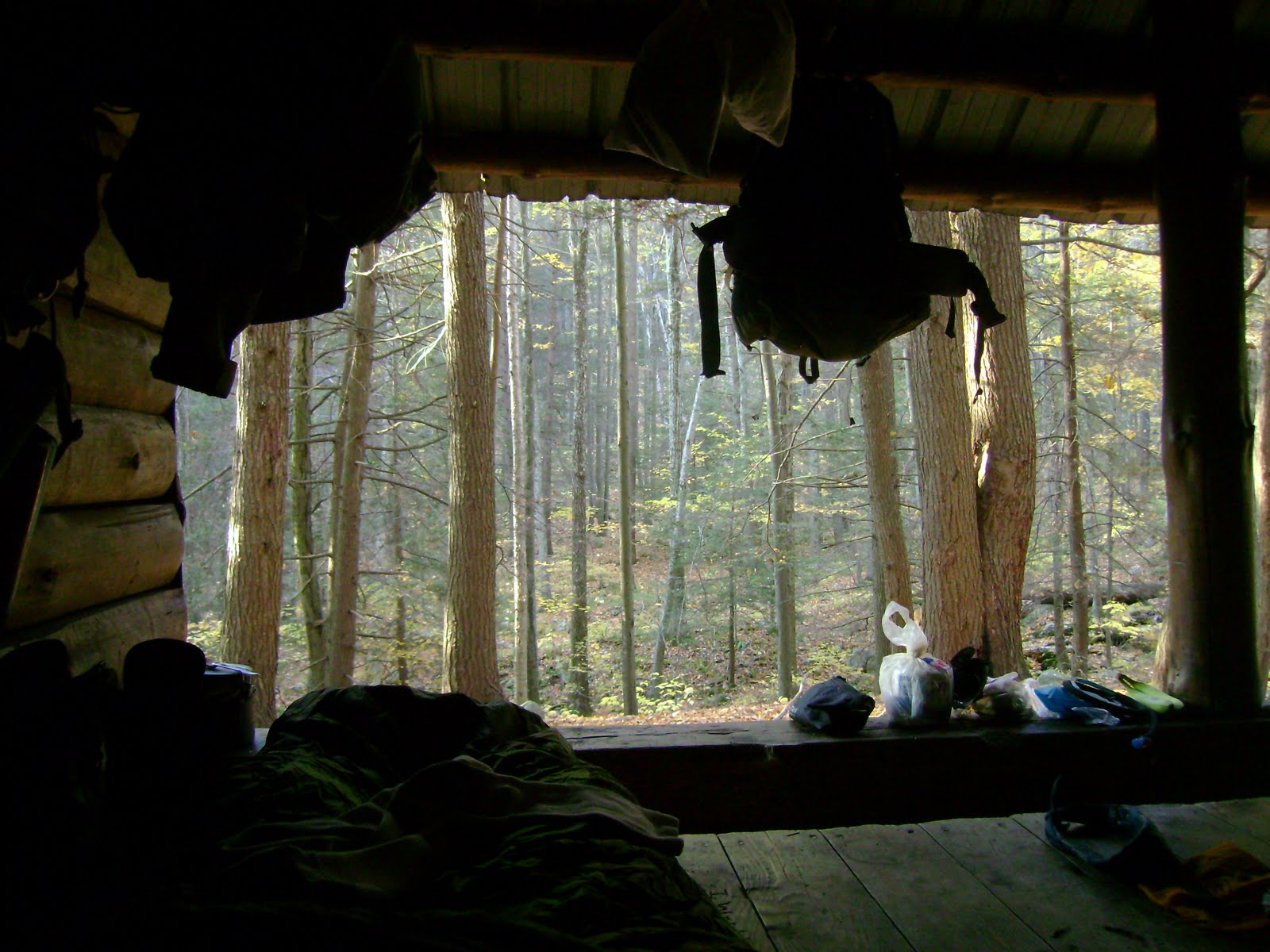
There are supposed to be something like 250 "shelters" or "lean-to's" along the entire AT. I stayed at two of them: The Mt. Algo Shelter and the Ten Mile River Shelter. They're great because they block any wind, keep you dry and mean that you dodn't have to set up a tent.

This green shack is a "Privy". At most shelters there will be a self composting privy.


Hang your food from these to keep mice from eating it at night.

Lots of pegs to hang packs. Most shelters can house at least 6 people. I shared the Mt. Algo shelter with two other guys. They were thru hikers, which means they were doing the entire trail. They'd been on the trail since May.


There was an old well at the Ten Mile River Shelter. I used the old pump and drew water to fill my bottles. It was really cool.

I had the Ten Mile River Shelter all to myself. A boyscout troop camped beside the shelter. Troop 135. I enjoyed hanging out with the boys and their trop leaders. The boys nicknamed my "Awesome Hiker Dude." They were funny.


Here's a view from up high looking down on the Housatonic River valley south of Kent, Conn.


Highest point of the section I hiked. 1250ft.


On my last day I hiked back up to the high point I mentioned earlier...it's like a 1000ft climb in about a mile. It just about did me in. I sat down for a much needed breather and took in the view.
 A double blaze tells you the trail is changing direction. The top blaze tells you which way the trail is turning.
 Blue blazes indicate a side trial, usually leading to a camping area or a shelter. So this tree tells you that the trail continues straight ahead and there is also a side trail leading off to the right to a shelter.
 Below is a blue blazed trail.
 See the grey squirrel?
Stopped at Thayer's Brook to take a few pics. Wore orange since it is deer season.


 Lunch break by a creek headed south on Day 2.
 Crossed over into New York for about a mile and a half. Now I can say that the only time I ever went to New York I walked there. Ha Ha
 At one point the trail dropped out onto this pavement. It follewed the road about 3/4 of a mile to a stop sign then headed into the woods again.

 I saw lots of old rock walls which I think were fences aorund peoples properties...maybe 200 years ago or more. Really cool.
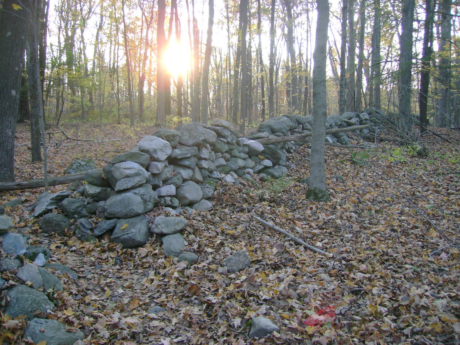


Rental truck I drove to trail.

There are supposed to be something like 250 "shelters" or "lean-to's" along the entire AT. I stayed at two of them: The Mt. Algo Shelter and the Ten Mile River Shelter. They're great because they block any wind, keep you dry and mean that you dodn't have to set up a tent.

This green shack is a "Privy". At most shelters there will be a self composting privy.


Hang your food from these to keep mice from eating it at night.

Lots of pegs to hang packs. Most shelters can house at least 6 people. I shared the Mt. Algo shelter with two other guys. They were thru hikers, which means they were doing the entire trail. They'd been on the trail since May.


There was an old well at the Ten Mile River Shelter. I used the old pump and drew water to fill my bottles. It was really cool.

I had the Ten Mile River Shelter all to myself. A boyscout troop camped beside the shelter. Troop 135. I enjoyed hanging out with the boys and their trop leaders. The boys nicknamed my "Awesome Hiker Dude." They were funny.


Here's a view from up high looking down on the Housatonic River valley south of Kent, Conn.


Highest point of the section I hiked. 1250ft.
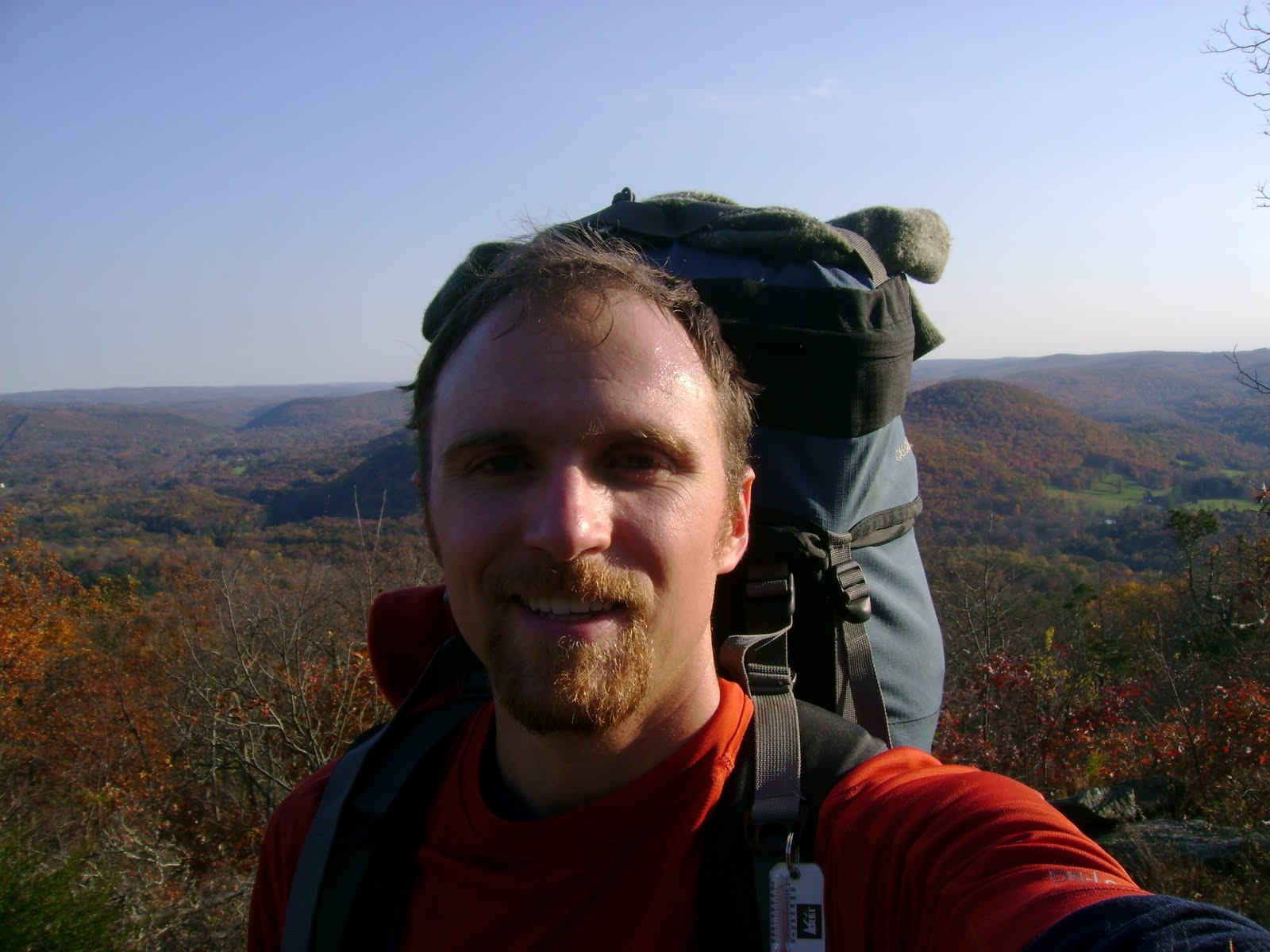


On my last day I hiked back up to the high point I mentioned earlier...it's like a 1000ft climb in about a mile. It just about did me in. I sat down for a much needed breather and took in the view.


